Darvaz
‘Darwaz’ means gate in the Persian languages, and the district of Darwaz in Gorno-Badakhshan was indeed the gate from the Western Pamirs to ancient Bactria and Khwarezm (and to the later Emirate of Bukhara).
There are two routes from Dushanbe to the Pamirs: a) through Kulob, to the southeast of Dushanbe and then from Shurabad along the river Panj to Zigar (the first village in Darwaz district) and Kala-i-Khum (Kulob route); or b) along the valley of the Surkhob to the east as far as the junction with the Khingob (Obikhingou) river and then along the course of the Khingob as far as the bridge at Dasht-i-Sher (the territory of Gorno-Badakhshan lies on the other side of the river); then from Kala-i-Husein across the Khaburabot pass to Kala-i-Khum (Saghirdasht – Tavildara route).
Both are attractive, although long (approx. 16 hours to Khorog). The Kulob route is being improved, as the all-weather route of choice to and from the Kulma pass at the Chinese border (see separate sheet on Murghab), and offers dizzying views of the Panj from the high cliff sides along which the road passes. The Saghirdasht route – only open in the late spring, summer and autumn (check before leaving if you plan to take this route) and not well-maintained – is more peaceful and offers excellent panorama views at the Khaburabot pass, and a pleasant descent down the pretty Khumob (Obikhumbo) river into Kala-i-Khum (although the flight from Dushanbe to Khorog is obviously less physically tiring, it is worth considering the road journey: it offers splendid scenery and will give you a better idea of the isolation of Gorno-Badakhshan. The road journey can, of course, be continued along the Pamir Highway to Osh).
The territory of Darwaz and Vanch lying on the Panj is the lowest in Gorno-Badakhshan and the climate is milder than elsewhere in the Pamirs. Figs and black mulberries grow there, and turkeys and chickens run free; oranges are cultivated near Zigar.
On the Kulob route (some 30km before Kala-i-Khum) lies the lovely village of Yoged, with four shrines: ‘Ostoni Khoja Khizr’, ‘Ostoni Shah Owliyo’, ‘Ostoni Khoja Chiltan’ and ‘Ostoni Khoja Nazar’. There are fine walks above Yoged – a good place for breaking the journey from Dushanbe to Khorog (homestays next to a tumbling stream or use of the nearby guesthouse can be arranged through MSDSP). The villagers in Yoged, on their own initiative, have set up a small museum to house the various ancient objects found in the vicinity, as well as some traditional tools and old kitchen utensils.
The fortress that gave its name to Kala-i-Khum, located on right bank of the Khumob river just above the confluence with the Panj, no longer stands. However, some 8km further up the Panj, on a rocky promontory behind the village of Ruzvay, there are the ruins of a small fortress. Further upstream, just past the village of Vishkharv, there is a side valley to Brovg, offering pleasant walks at the top.
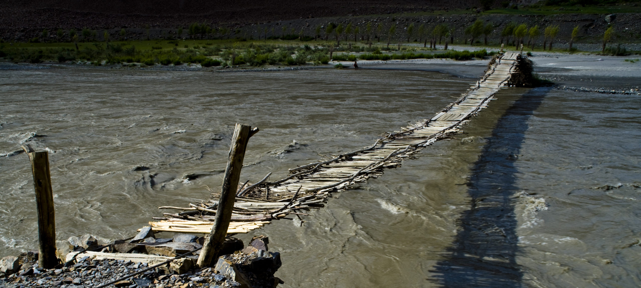
87km from Kala-i-Khum the river Vanch joins the Panj. The gorge of the Panj is narrower and steeper between Kala-i-Khum and the Vanch valley and passes within view of a number of Afghan villages and of the precipitous paths clinging to the cliff face on the Afghan side.
Vanch
The Vanch valley is much broader than the other valleys feeding the Panj, and – if less dramatic – offers pleasant scenery, especially at the top. Of the fortress that was once in the district centre (Vanch town) very little remains. Some five kilometres before the town centre, on the left bank, there is an ancient burial site (Dashtirogh); other burial mounds can be found on the right bank just outside Vanch town (Gishkhun). The ruins of a small fortress can be found near the village of Ghijovast, some 40km upstream from Vanch town on the left bank. There is a small museum in the town centre.
In the last village at the head of the valley, Poi-Mazar, there are two shrines (‘Sardi Saïd’ and ‘Sardy Bard’) and what is, according to local legend, the grave of Ali. On the left bank, shortly below Poi-Mazar, in Garm-Chashma, there is, appropriately, a warm spring. At the end of the road on the right bank, in the village of Vanvan, there is a shrine (‘Khotchai Sabz Poosh’). Beyond Poi-Mazar there are splendid views back down the valley and east to the mountains beyond (‘Academy of Science Range’), at the top of which lies the great Fedchenko Glacier. A path leads east 17km beyond Poi-Mazar to the shrine ‘Abdulkakhori Sarmast’.
Yazgulom
From Gishkhun, on the opposite side of the valley to Vanch town, a trekking route leads across the Gishkhun pass (4,336m) to Zhamag in the Yazgulom valley (see below) and, through Ubaghn by a difficult route, to Roshorv in the Bartang valley (see separate sheet on Rushan and the Bartang Valley); another trekking route leads past old mining settlements to Roshorv from Ghumast (Langar) further up the valley, or back through Ubaghn to Zhamag.
About 20km south of the point where the Vanch joins the Panj, a charming side valley leads up the Yazgulom river. The fortresses in Motravn and Andarbag no longer exist, but the ruins of a fortress can be seen in Zhamag. There are shrines in Motravn and Zhamag. In Zhamag there are also some petroglyphs close to the shrine. Further up the valley, beyond Ubaghn, there is a shrine known locally as the ‘tomb of Alexander’.
A trekking route goes from Motravn across the Yodudi pass (4,208m) to Vomar (Rushan). From Andarbag another route leads across high passes to Siponj in the Bartang valley