Murghab
Murghab district (population approx. 14,000) comprises more than half of the land area of Gorno-Badakhshan. Most of the district is semi-desert high plateau and is traversed by the Pamir Highway from the Koitezek pass (4,271m – on the way from Khorog) to the Kyzylart pass (4,336m – on the way to Sary Tash, the first settlement in Kyrgyzstan, and Osh).
Murghab contains the longest mountain glacier in the world, the Fedchenko (more than 70km); two of the highest mountains in the Pamirs: Pik Somoni (formerly known as Pik Communism – 7,495m) and Pik Lenin (7,134m). The highest mountains in the Pamirs, Mustagh Ata (7,546m – ‘father of the ice’) and Kongur (7,719m), are just across the frontier in China (Mustagh Ata can be seen from Murghab town). Murghab also contains the four biggest lakes in the Pamirs: Karakul, Sarez (the western part is in Rushan district), Yeshilkul and Zorkul. Fedchenko and Pik Somoni are only accessible for mountaineers (or by helicopter), whereas excellent views of Pik Lenin can be seen from the village of Sary Mogol in the Alai valley, about 30km west of Sary Tash.
Murghab can be reached from Khorog (Pamir Highway) or Ishkashim (Wakhan route – see separate information sheet). The latter offers the more interesting scenery, as the road follows the peaceful meandering of the Pamir river north to the Khargush pass (4,344m) before joining the Pamir Highway 126km south of Murghab town (3,630m). Special permission is required from the Tajik border guards to travel on this route (and also for the detour east from the Khargush checkpoint to Zorkul and the Great Pamir). A track just west of the junction between the Pamir Highway and the road from Khargush leads to the village of Bulunkul (and the lake of that name) and the vast expanse of Yeshilkul (3,719m). Yeshilkul was formed like Sarez – although much earlier – by an earthquake.
On the north shore of Yeshilkul, close to the mouth of the Great Marjonai river, there are pre-historic stone circles (‘geoglyphs’) and several Saka (Scythian) burial sites a little further up the valley. Traces of ancient mining settlements (11th century CE) can be found in the area. At the eastern end of the lake are the remains of a caravanserai (or tombs) and a hot spring at Sumantash (Bekbulat).
An easy trekking route follows the north shore of Yeshilkul – although crossing the Alichur river at the entrance to the lake can be difficult in spring and early summer when the water level is high. A jeep track follows the southern shore; it is also difficult to ford the outflow river at the western end of the lake (look out for the pulley cable, which may or may not be functional) – moreover, work is currently being undertaken here on a new dam for the Pamir-1 hydropower station and it may not be possible to continue by jeep as far as the left bank outflow. Along the right bank, from the western end of the lake, the trail continues down to Bachor and the Ghund valley, or north via more difficult trekking routes across the Langar pass (4,629m) or Chapdar lake (4,529m) to Lake Sarez. From the eastern end of Yeshilkul it is possible to walk upstream to Alichur.
To the east of the Bulunkul turnoff, the Pamir Highway goes past the lakes Tuzkul and Sasikkul. Further along the Pamir Highway in the direction of Murghab town is the village of Alichur (3,863m). From this point on, the scenery increasingly resembles a moonscape, the rock colours alternating between red, yellow, brown and green. The rounded and smooth mountain tops on both sides are a reminder that this plateau area was once on the sea floor.
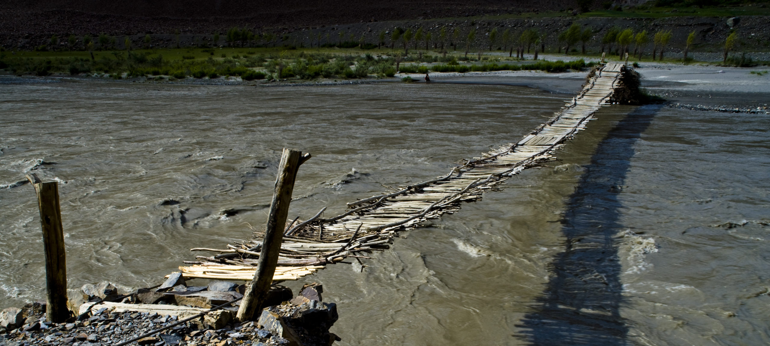
Some 10km beyond Alichur in the direction of Murghab a side valley leads across the Bazardara pass (4,664m) to the 11th century silver mining settlement of Bazardara. You might be able to drive this, but don’t count on it. In Ak Jilga, close to Bazardara, there are Saka petroglyphs. From Bazardara, the route continues along the Bazardara and Murghab rivers to Madian (this section has to be on foot, and involves a crossing of the Murghab River) and Murghab. In Madian there are petroglyphs and a hot spring (Eli Su) that can be reached by jeep from Murghab.
Some 30km from Alichur going east there is a huge rock in the middle of the Alichur plain – known as Chatyr Tash (‘house rock’). Near here a track goes off to the south to the village of Bash Gumbez, from where a trekking route leads across the Alichur range to Koluch Kul lake. Another track just beyond Chatyr Tash leads to Shakhty, where there is a cave with bronze age pictographs, and to Jarty Gumbez hunting camp, with its own hot spring; excursions can be made from the camp to the Great Pamir and Zorkul (with the necessary permissions). Near the camp, on the Istyk river, there are Saka tombs and the ruins of a caravanserai. Tracks also lead from Jarty Gumbez to the Aksu river at Tokhtamish and Kyzylrabot/Shaimak (see below). The hunting camp can also be reached from the Khargush checkpoint (with permission). N.B. The terrain in the Great Pamir can be treacherous in the early summer as floods leave a deep layer of sticky clay under a thin sun-baked hard surface – vehicles are easily trapped: go with an experienced driver who knows the terrain and is familiar with the tracks, preferably with more than one vehicle so that a trapped vehicle can be pulled free.
In Murghab, tours (trekking, safari, wildlife watching, historical sites, camel tours) and guides can be organised with the help of the Murghab Ecotourism Association (META), including stays in private homes, yurts and on the high summer pastures (‘jailo’). META can also assist in obtaining the special permissions to visit local restricted sites. PECTA and ACTED/META also actively promote local handicrafts and have a shop in Murghab town (The Yak House). To the west of Murghab town, a track leads down the Murghab river to the hot spring in Madian, as noted above. To the north of Murghab town, a difficult jeep track follows the Pshart valley to the ruins of the 9th century mining settlement of Sasyk – passing Saka petroglyphs on the right hand side of the valley.
From Murghab town, at the junction of the Akbaital and Aksu rivers – where the river becomes the Murghab – a road branches off the Pamir Highway to the east, leading past the village of Kona-Kurghan with its interesting graveyard, along the Aksu valley and then further east, incongruously on a paved road, to the Kulma pass – open for commercial truck traffic but not for individual tourists at the time of writing. The road continues further up the Aksu valley to Toktamish, Shaimak (3,852m) and the Little Pamir (frontier zone: ask locals if this regeion is open for tourists; although it is worth checking with the border guards whether a short excursion to the hot spring and Saka graves at Bakhbur may be allowed). In the late spring and summer, there are several fine ‘intermittent’ lakes between Tokhtamish and Shaimak. In Shaimak there are Saka graves, a hot spring and a fine mosque.
Some 19km north of Murghab town on the Pamir Highway, a road leads east to the beautiful iridescent lakes of Shorkul and Rangkul. On the right, just past Shorkul, a sheer cliff rises above the road: this is the famous ‘lamp rock’, from which – in a cave near the summit – a light shines, supposedly from the eye of a dragon protecting a treasure (for a Shorkul-Permit see: https://caravanistan.com/visa/tajikistan/gbao-permit/#lake-sarez-and-zorkul-permits). From Rangkul village a track leads south along the border zone between Tajikistan and China. Travel here requires special permission from the Tajik border guards, but it is worth trying to obtain permission for the sake of the spectacular views of Mustagh Ata and the huge sand dunes on this route, which ultimately joins the asphalt road from Murghab town to Kulma.
Some 40km beyond the Akbaital pass – at 4,655m the highest pass on the Pamir Highway – a track leads west to the Muzkol valley, then southwest down the Kokuibel valley, and west to the geoglyphs at Shurali, before finally turning south down the Tanimas river to the uppermost village in the Bartang, Ghudara. (N.B. This route is marked clearly on Markus Hauser’s map but the track is not maintained and may not be jeepable to Ghudara and the Bartang.)
Beyond the Muzkol turnoff, the Pamir Highway leads along the eastern shore of the spectacular lake Karakul, that can already be seen from a distance at about this point. Karakul means ‘black lake’, but in spring, summer and autumn the waters are almost always turquoise blue. At the northern end of the lake, near the village of Kara-Art, a track turns off east to geoglyphs and Saka graves, about 500m from the turnoff. The Pamir Highway finally leaves Gorno-Badakhshan at the Kyzyl Art pass and continues down into the Alai valley (Alaika) and on to Sary Tash and Osh in Kyrgyzstan.
The road from Osh in Kyrgyzstan is uninhabited between the last Kyrgyz town of Sary Tash and Murghab. A short excursion West from Sary Tash to the village of Sary Moghol on Kyrgyzstan’s territory (inhabited by very hospitable Tajiks from Murghab) offers spectacular views of Pik Lenin (7,134m).

The road from Sary Tash to Ali Chur follows the Chinese border for about 200km and goes over some very high passes (of which the highest is Akbaital 4,655m).
Sanitation in most private houses is relatively primitive: corresponding elementary precautions should be taken. See section Health and other practical advice.
Travellers to Murghab district may be able to stay in a yurt.


