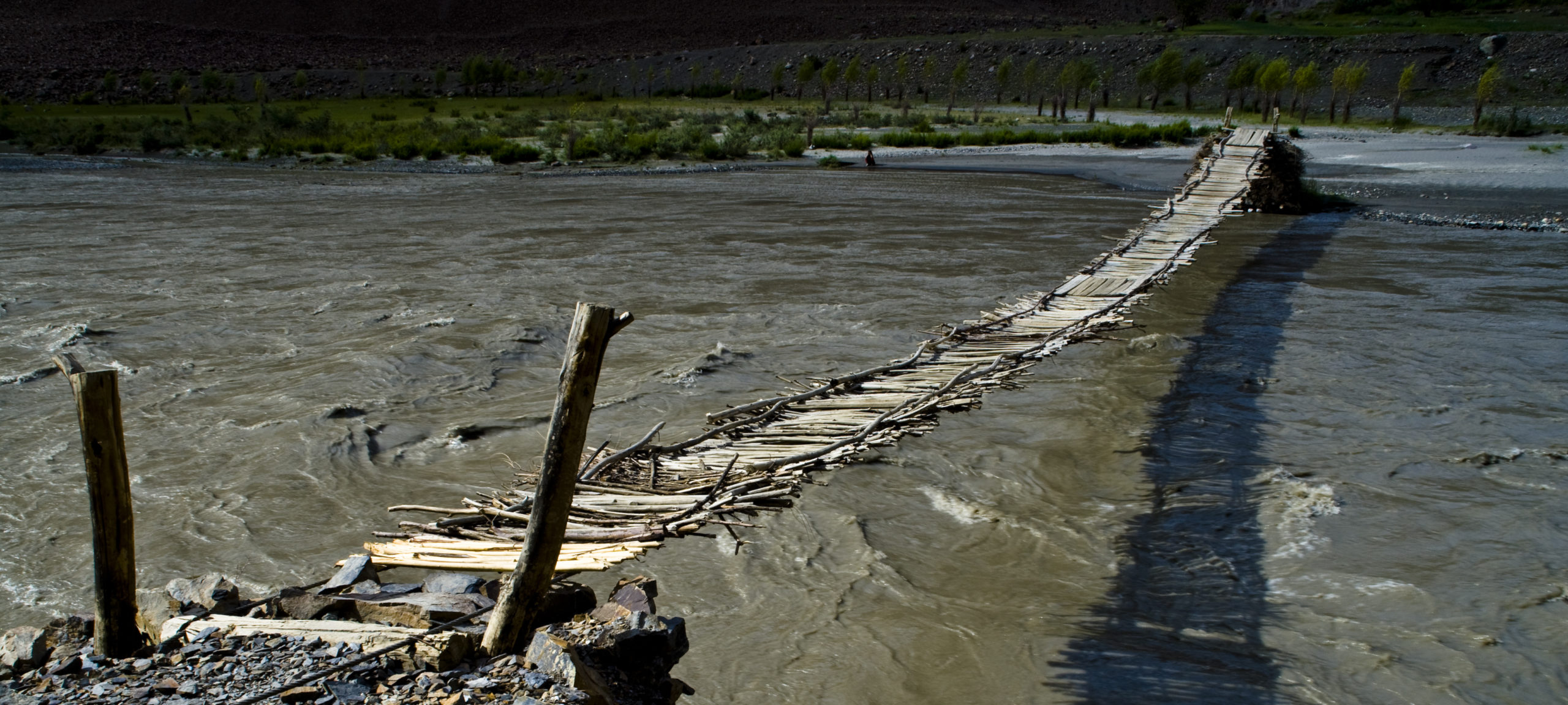
Khorugh (or Khorog), the capital of the Gorno-Badakhshan Autonomous Oblast (GBAO), is a quiet little town of some 28,000 inhabitants, situated on the confluence of the Ghund and Shokhdara rivers and at the point where the Ghund flows into the Panj. This short stretch of the Ghund used to be called the Khorugh river. Until the establishment of the Russian base in Khorugh in 1896, Khorugh was a very small settlement: the capital of Badakhshan was then Kala-i Bar Panj, on the other side of the Panj, a little further downstream. There is a bridge in Khorugh to the Afghan side. The total population of Shughnan (including Khorugh) is approx. 37,000.
Today Khorugh is the site of the GBAO offices of the Aga Khan Development Network (AKDN) and of the Tajikistan campus of the University of Central Asia and is one of the few places in GBAO where there are restaurants catering to Western tastes (see MSDSP list). In addition to the AKDN Serena Inn (located just north of Khorugh in the village of Tem on the Panj) and the MSDSP guesthouse in the centre of town just off Lenin Street and looking out over the Ghund, there are also a number of homestay possibilities in town (see MSDSP list).
The Khorugh Museum is very close to the MSDSP guesthouse and contains archaeological and historical exhibits. Khorugh also boasts the second highest Botanical garden in the world, offering a fine view of the town (the highest is the Lijiang Alpine Botanical Garden in Yunnan Province in southern China).
On the market in Khorugh one can find almost everything, which is situated next to the bus station at the western end of Lenin street (the main road through Khorugh). Buses from here travel at least once a day to all districts of GBAO. (N.B. In many cases, for an extra fee, the bus driver can be persuaded to continue some distance beyond his normal final destination.) Khorugh airport is located on the Panj, on the road to Porshnev.
The Pamir Highway follows the Ghund valley upstream as far as Sardem, where it then follows the course of the Toguzbulak to the Koitezek Pass and crosses the high Pamir plateau to Murghab and Osh (see separate information sheet). From Sardem, a road goes to the village of Bachor, a starting point for treks to Lake Sarez and Lake Yeshilkul. The Ghund carries little glacial residue and is almost always a pure turquoise colour.
Some ten kilometres from Khorugh, on the Pamir Highway, is the village of Bogev, where there are traces of ancient Aryan (pre-Zoroastrian) fire temples located on a cliff above the road, and of a medieval fortress (Kafirkala). Other historical and cultural sites on the Pamir Highway can be found in or near: Suchon (Shohi Viloyat shrine), Vibist (petroglyphs dating back some 10,000 years), Sizhd (Shohmalang shrine), Ver (Sumbi Duldul shrine), Charthem (petroglyphs), Vankala (Imom Muhammad Bokir shrine), and a Kyrgyz graveyard just beyond the Koitezek pass to the left of the road at Tagarkaki. On the left-hand side of the road, just before the entrance to Jelondy, the last village before the Koitezek pass, there is a public hot spring bath and guesthouse. From the Koitezek pass there are splendid views of Kyzyldong (5,704m).
Some ten kilometres north along the Panj from Khorog, there is the lovely village of Porshnev, where there are several shrines and holy places: Piri Shohnosir (Midenshor) dedicated to Nasr Khusraw with teahouse and holy spring; Mir Sayyid Ali Hamadoni (Kushk); Sumbi Duldul (Barchiddara); and Gumbazi Pir Sayyid Farukhshoh (Saroi Bakhor). At the latter site there is some remarkable calligraphy on the ceiling of the shrine, and also a stone bearing the panjtan (5 fingers of the hand) symbolising the holy family Mohamed, Fatima, Ali, Hussain and Hasan. Further north there are shrines in Tem (Imom Zaynulobidin), Yomj (Ostoni Shohtolib) and Sokhcharv (Piri Dukman). In addition to the treks to Yeshilkul and Sarez (mentioned above) there are challenging trekking routes from Rivak on the Pamir Highway across the Shughnan range to Nimos (on the Shokhdara), from Duzhak (‘forked branch’ – near Miyonakuh) on the Pamir Highway to the Kulin Lakes, and from Duzhak or Jelondy past Turumtaikul Lake to Djavshangoz at the top of the Shokhdara (not recommended in winter).
