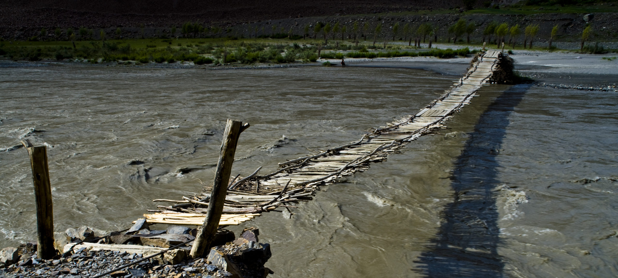
Gorno-Badakhshan is the oblast (province) in the far Eastern part of Tajikistan and covers the main part of the Tajik Pamirs. It borders Afghanistan in the South and West, China in the East and Kyrgyzstan in the North. The Southern and Eastern boundaries are determined by the Pamir and Pyanj rivers. The Pyanj is better know by its ancient name of Oxus, and becomes the Amu Darya after being joined by the river Kunduz from Afghanistan, before continuing along the Uzbek border on the way to the Aral Sea.
Gorno-Badakhshan has:
- some of the highest mountains in the world: Pik Somoni / Communism (7,495m), Pik Lenin (7,134m), Pik Karl Marx (6,723m) and Pik Engels (6,510m) and the Fedchenko Glacier – one of the longest in the world (77km); from Murghab there are views of Mustagh Ata – “Father of Ice” (7,546m) just across the border in China
- traces of the Silk Route and other archaeological sites
- the warm hospitality and vitality of its people
- rich dancing and music traditions, both religious and secular
The following itineraries are recommended (click on the link and then on the place names for “virtual sightseeing”):
- The Wakhan corridor, with views across the Pyandj and Pamir rivers to the peaks of the Hindu Kush in Pakistan; the Wakhan contains many traces of the multicultural history of the Silk Route and the spread of major religions (see also the section on Archaeology)
- The valleys of the Shokhdara and Pamir rivers; here, in beautiful natural surroundings, there are vestiges of the centuries-long struggle for control of the fertile lands of the Pamirs
- The Pamir Highway, from Khorugh to Kyrgyzstan (and, in future, China), the lifeline to markets; this is the real Pamir: high plateau desert and multi-coloured rock formations resembling more a moonscape than mountains; this region used to be at the bottom of the sea and was pushed up by the geological phenomenon of continental drift and the clash of tectonic plates.
- The unspoilt and undiscovered beauty of Murgab, Rangkul, Madyan and Shaimak (Little Pamir), with the legendary Dragon Lake known to Chinese geographers
- The Bartang valley, the longest in Gorno-Badakhshan, with idyllic villages nestling against the valley walls and access to Lake Sarez. Bartang designated among 2014 Global Top 100 Sustainable Destinations.
For most travellers, a visit to the Pamirs is likely to be different from any previous travel experience. This is in itself one of the attractions of the region, but a few words of warning may be necessary, since the experience is both physically and mentally challenging.
Travellers should be aware that the distances involved in just getting to Gorno-Badakhshan are enormous (up to 7 hours flying time from Western Europe to Dushanbe, then some 16 hours by road to the regional capital, Khorugh). Osh-Khorugh takes 14 hours by road and distances between destinations within Gorno-Badakhshan are significant. A visit to the Pamirs can not be hurried and travellers must be prepared for much driving over difficult roads at high altitudes.
The road from Dushanbe travels a considerable distance along the Afghan border and offers magnificent scenery and views of life in Afghan villages.
Spectacular Landscapes
Highest Mountains
Warm Hospitality
Hot Spings
Hot springs are located in following villages:
- Garm Chashma (near Anderob, 30km from Khorugh on the road to Ishkashim)
- Oudzh (30km from Ishakashim on the road from Khorugh)
- Bibi Fotima (Yamchun – 72km from Ishkashim above the Wakhan)
- Issyk-Bulok-Madyan (10km West of Murghab)
- Djelondi (about 110km from Khorog on the road to Murghab)
- Shaimak (126km from Murghab)


