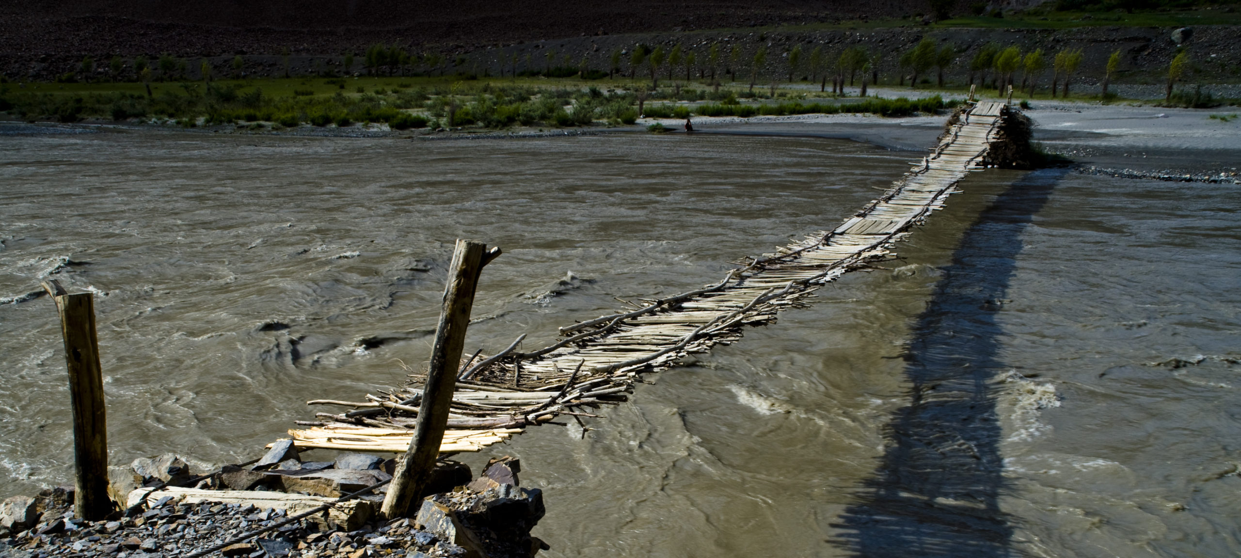
The Shokhdara flows in to the Ghund at the eastern end of Khorugh, a short distance before the Ghund joins the Panj. Roshtkala district (population approx. 25,000) covers the Shokhdara valley between the Shughnan and Ishkashim ranges together with the high plateau between the Shokhdara and Shughnan ranges.
Not far from Khorog there are shrines in: Khidorjev on the left bank (Khoja Zur) with a spring that reputedly has healing properties; Bodom above the right bank (Khoja Nur – sister of Khoja Zur – and Sumbi Duldul – Ali’s horse); Barboz – above Bodom – (Ostoni Piri Fokhmamad); Tavdem (oston and mazor of Sayyid Jalol); and Tusion (Shohburhoni Vali – to the leader of a major sufi order). Tusion lies high above the river valley and offers a trekking route to Nishusp on the Panj. An alternative trekking route to Nishusp can be taken from the village of Khidorjev closer to Khorugh.
In Roshtkala, the district centre, there was – until quite late in the Soviet period – a fortress, but now only stones remain, mostly used for cattle sheds on the site, which nevertheless offers good views of the valley below and the rugged mountains behind. The castle dates back to the 9th-10th century CE. There is also a shrine in the town, dedicated to Bobomafil. A little further upstream, in the village of Ambav, there is another shrine, Chiltani Pok. Trekking routes lead from Vezdara and from Bodomdara to Garmchasma in Ishkashim district.
The Shokhdara flows through a deep gorge a few kilometers from Ambav, where there is one of the only remaining forest areas in Gorno-Badakhshan. The road follows the right bank, passing what was once a fortress (known as Kafirkala, suggesting pre-Islamic origins) in Sindev on the other side, the stones from which have been used to build the nearby residence of the descendants of the last king of Shokhdara (Mingbashi Azizkhan). A few kilometres further on, there is a narrow road to the left leading up a pretty side valley to the Chandindara. There are trekking routes from Chandindara to Bogev and to Kolkhozabad in Shughnan. Further up the main road there is a shrine in the village of Sejd (Vordjbid). In the next village, Vrang, the Shokhdara passes through a narrow gorge with attractive rapids and waterfall. To the left of the road, near Vrang, a path leads up to the beautiful lake of Durumkul.
Some 20 kilometres beyond Vrang is the village of Nimos, the starting point for a long and difficult trek across the Shughnan range to Rivak on the Ghund. In Nimos there is a shrine (Shoh Abdol) consisting of twocaves. The road then goes past a small early mediaeval fortress in Shoshbuvad. From Rubot, just beyond Shoshbuvad, there is a tough trekking route over the Vrang pass to the Wakhan.
The road then climbs to the Djavshangoz plain, offering the first glimpses of Pik Karl Marx (6,723m) and Pik Engels (6,510m). At the entrance to the plain in Deruj there is an imposing ruined castle, dating from the 2nd-3rd century (Kushan empire). Very close to the fortress there are ancient graves from the bronze age and later. From Deruj, there is a trekking route across the Duzakhdara pass to the Ghund at Miyonakuh.
In the 18th and 19th centuries, Djavshangoz was also the scene of clashes between nomadic Kyrgyz and the settled Tajik population. Caves above the village were used for refuge and mass Kyrgyz graves have been found. A mountain track leads from Djavshangoz to the Koitezek pass. Just beyond Djavshangoz there are breathtaking views of Pik Karl Marx and Pik Engels. A few kilometres further on there is a turnoff for a detour to Turumtaikul lake. A trekking route (sometimes jeepable) leads southeast across the Mats pass to the Pamir river and the Wakhan.
